Discover 7422 Tools

Unleash geospatial data's potential with GeoMesa.
GeoMesa enables quick and accurate analysis of large geospatial datasets, distributed storage and query capabilities, and seamless integration with web mapping and GIS workflows.

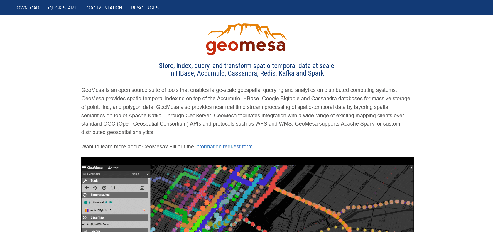
GeoMesa is an open-source, distributed spatio-temporal database that offers a range of features to help you efficiently store, query, and analyze large volumes of geospatial data. With its ability to handle data across multiple distributed systems, GeoMesa empowers you to process massive amounts of information with speed and precision.
One of the standout aspects of GeoMesa is its reliability and security. It is designed to ensure that your data is stored safely and can be accessed without any hiccups. This makes it ideal for applications that require consistent and secure handling of geospatial data, such as surveillance or disaster relief efforts.
Another key advantage of GeoMesa is its comprehensive support for the latest geospatial technologies. It seamlessly integrates with web mapping and GIS, allowing you to effortlessly incorporate your geospatial data into your existing workflows. This makes it suitable for a wide range of professionals, including GIS analysts, data scientists, and application developers.
Fast and accurate analysis of large geospatial datasets.
Storage and querying across distributed systems.
Integration with web mapping and GIS technologies.
Suitable for various applications and industries.
GeoMesa

Join the AI revolution and explore the world of artificial intelligence. Stay connected with us.
Copyright © 2025 AI-ARCHIVE
Today Listed Tools 174
Discover 7422 Tools