Discover 7422 Tools

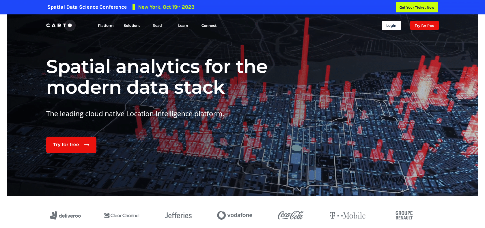
Screenshot of Carto Website

Make sense of geospatial data effortlessly.

Carto: Map, Analyze, and Visualize Geospatial Data with Ease

Discover the power of Carto - a versatile mapping platform for businesses, developers, and data scientists. Create stunning, interactive maps and gain valuable insights with ease.

Carto

Share on:
Screenshot of Carto Website

Introducing Carto: Unleash the Power of Mapping and Analytics

Carto is a powerful mapping and analytics platform that allows users to effortlessly navigate and analyze geospatial data. The platform equips businesses, developers, and data scientists with the necessary tools to make sense of their data in a visually stunning and interactive manner. With Carto's user-friendly drag-and-drop interface, users can seamlessly create beautiful maps and powerful visualizations without the need for complex coding or design skills.

One of the standout features of Carto is its ability to analyze data. Users can easily analyze and extract insights from their geospatial data using cutting-edge analytics tools. Whether you're exploring location trends, detecting patterns, or gaining valuable insights, Carto's robust analytics capabilities enable you to make informed decisions with ease.

Carto also offers real-time location tracking, providing users with up-to-date information on the movement and whereabouts of assets or individuals. This feature is particularly useful for businesses that require accurate and secure tracking of their resources.

Security is a top priority for Carto, and the platform ensures that your data is thoroughly protected. With robust data security features, you can trust that your sensitive information remains safe and confidential.

For Who?

Carto is a tool that is ideal for a wide range of professionals in different industries.

For businesses, Carto allows users to easily create stunning maps and powerful visualizations. Whether you need to display sales data, customer locations, or market trends, Carto's intuitive drag-and-drop interface makes it simple to transform your geospatial data into visually engaging maps. With its cutting-edge analytics and data visualization capabilities, businesses can make informed decisions and gain valuable insights to drive growth and success.

Developers can also greatly benefit from Carto's features. With its easy-to-use mapping tools and robust API, developers can integrate Carto into their applications and platforms seamlessly. This enables them to add mapping and analytics capabilities, enhance user experiences, and unlock the potential of their geospatial data.

Data scientists and analysts will find Carto as an invaluable tool to analyze and gain insights from location data. With its advanced analytics capabilities, users can explore trends and patterns within their data, helping them make data-driven decisions and uncover hidden opportunities.

Furthermore, Carto offers real-time location tracking features, making it useful for businesses that rely on tracking and monitoring assets or personnel. Its reliable and secure system ensures that location data is protected, allowing businesses to track their resources with peace of mind.

Main Features

Gain valuable insights and explore trends.

Benefits of using Carto

Carto is a versatile tool that provides numerous benefits in real-world applications. One of its key advantages is the ability to map and analyze geospatial data with ease. Whether you are a business owner, developer, or data scientist, Carto's intuitive drag-and-drop interface allows you to effortlessly create beautiful and interactive maps. By visualizing your data on a map, you can easily identify patterns, trends, and relationships that might not be apparent in traditional data formats.

Another significant benefit of using Carto is its capability to create stunning maps and powerful visualizations. With a wide range of mapping tools at your disposal, you can customize and personalize your maps to suit your specific needs. Carto's visualizations enable you to effectively communicate and present your data in a visually appealing manner, making it easier for your audience to understand and interpret your findings.

Furthermore, Carto offers real-time location tracking, which can be crucial for businesses that require up-to-date and accurate information. With its real-time tracking feature, you can monitor the movement and location of assets, vehicles, or even customers. This information can be invaluable for making informed decisions, optimizing routes, and improving overall efficiency.

Data security is a paramount concern for many businesses, and Carto addresses this concern by providing robust data security features. You can rest assured knowing that your sensitive data is safe and secure within the platform, allowing you to confidently analyze and share your geospatial data without compromising its integrity.

Full Review

We are impressed with Carto's ability to map and analyze geospatial data with ease. The platform offers a user-friendly drag-and-drop interface that allows users to quickly create beautiful and interactive maps. Whether you're a business owner, developer, or data scientist, Carto provides the tools and capabilities you need to make sense of your geospatial data.

One of the standout features of Carto is its ability to create stunning maps and powerful visualizations. The platform offers a wide range of mapping tools, allowing users to customize their maps and highlight specific data points. With Carto, you can easily create visually appealing maps that effectively communicate your data.

In addition to mapping and visualization, Carto also offers cutting-edge analytics capabilities. Users can perform data analysis on their geospatial data, uncovering trends and patterns that may have otherwise gone unnoticed. This allows businesses and organizations to make informed decisions and gain valuable insights from their data.

Another impressive feature of Carto is its real-time location tracking. The platform allows users to track and visualize real-time location data securely. This is particularly useful for businesses that rely on location data, such as logistics companies or businesses with a mobile workforce. With Carto, you can easily monitor and analyze location data to improve efficiency and make data-driven decisions.

Data security is also a top priority for Carto. The platform offers robust data security features, ensuring that your data is safe and secure. This gives users peace of mind, knowing that their sensitive information is protected.

Overall, Carto is a powerful mapping and analytics platform that offers a wide range of features and capabilities. Whether you're looking to create stunning maps, analyze location data, or gain valuable insights into your data, Carto has the tools and features you need to get the job done. Its intuitive interface, powerful analytics capabilities, and data security features make it a standout choice for businesses, developers, and data scientists alike.

Carto

Pros:

- Gain valuable insights from data analysis.

Cons:

- Limited customization options for map designs.
- Advanced analytics features may require technical expertise.

Popular AI

Similar Archives

{{ reviewsTotal }}{{ options.labels.singularReviewCountLabel }}
{{ reviewsTotal }}{{ options.labels.pluralReviewCountLabel }}
{{ options.labels.newReviewButton }}
{{ userData.canReview.message }}

Explore Similar AI Tools: